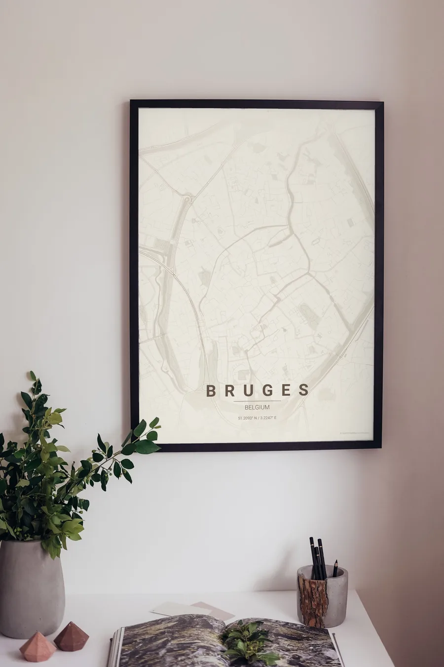
Bruges Map Poster: a medieval egg ringed by water
Why Bruges works so well as a map poster
Bruges is one of the few cities whose entire historic form survives intact on the map: the old town sits inside an egg-shaped ring canal that follows the fourteenth-century ramparts, with four windmills still standing along the eastern rim and the gates marking where the old roads entered.
Inside the egg, the reien canals thread between the Markt, the Burg and the begijnhof, spilling into the Minnewater at the southern tip, while the streets keep the irregular, hand-drawn geometry of a city that was already finished by the time most capitals were villages.

Best palettes for Bruges
- Warm Beige — the signature pick: parchment tones that make the map feel like a medieval manuscript.
- Japanese Ink — delicate ink lines; the canals become brushstrokes.
- Midnight Blue — the ring canal and the reien glowing against deep night blue.
Where to centre the map and which radius to use
Centre on the Belfry with a 3 km radius so the whole egg of the ring canal floats in the frame with green space around it; the windmills and the Minnewater land neatly inside the composition.
Ready-made Bruges posters
We have already rendered 5 Bruges designs at 300 DPI (Warm Beige, Blueprint, Japanese Ink, Midnight Blue, Noir). Download the files for 9.99 € and print them anywhere, or order a premium matte print (A4 to 60×90 cm) with shipping included.
See all Bruges designs Order it printed
Design your own Bruges poster
Pick any of the 17 palettes, set the exact centre and radius described above, choose the size and the label text (Bruges, or a neighbourhood name), and we render it for you from live map data after checkout. From 14 €, usually ready in 5–15 minutes.
Which size to print
City maps with lots of fine streets reward size: 30×40 cm is the sweet spot for a desk or hallway, 50×70 cm and 60×90 cm turn the map into a statement piece where individual streets remain legible from across the room. Stick to matte paper so the dark palettes do not reflect. Read the printing and framing guide.