New York Map Poster: Manhattan's grid on your wall
Why New York works so well as a map poster
New York's map is the most famous urban grid in the world: Manhattan's numbered streets and avenues, broken only by Broadway's diagonal, the green rectangle of Central Park and the island's sharp edges against the Hudson and the East River.
A map poster of New York captures that instantly recognisable geometry, and the bridges to Brooklyn and Queens give the composition its tension: rigid order on one side, the older, angled streets of Brooklyn on the other.

Best palettes for New York
- Contrast Zones — bold and graphic; the dark parks against light streets create stunning contrast.
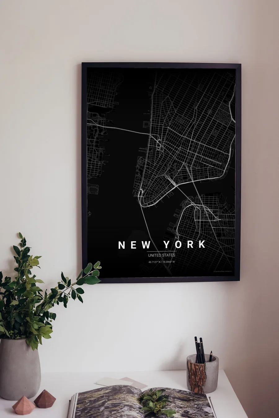
- Noir — black on black. Sophisticated, minimal, very New York.
- Emerald City — deep greens that make Central Park and Prospect Park pop.
Where to centre the map and which radius to use
Centre on Midtown with a 5 km radius to capture Manhattan from the Battery to Harlem, the Brooklyn and Manhattan bridges and a slice of Brooklyn in one poster. Portrait orientation fits the island perfectly.
Ready-made New York posters
We have already rendered 5 New York designs at 300 DPI (Noir, Blueprint, Japanese Ink, Midnight Blue, Warm Beige). Download the files for 9.99 € and print them anywhere, or order a premium matte print (A4 to 60×90 cm) with shipping included.
See all New York designs Order it printed
- New York map poster in the Blueprint palette
- New York map poster in the Japanese Ink palette
- New York map poster in the Midnight Blue palette
- New York map poster in the Warm Beige palette
Design your own New York poster
Pick any of the 17 palettes, set the exact centre and radius described above, choose the size and the label text (New York, or a neighbourhood name), and we render it for you from live map data after checkout. From 14 €, usually ready in 5–15 minutes.
Which size to print
City maps with lots of fine streets reward size: 30×40 cm is the sweet spot for a desk or hallway, 50×70 cm and 60×90 cm turn the map into a statement piece where individual streets remain legible from across the room. Stick to matte paper so the dark palettes do not reflect. Read the printing and framing guide.