San Francisco Map Poster: peninsula, grid and Golden Gate
Why San Francisco works so well as a map poster
San Francisco sits on a peninsula with water on three sides: the Pacific to the west, the Bay to the east and the Golden Gate strait to the north. The famous grid ignores the hills entirely, producing a map that looks deceptively orderly until you remember those straight lines climb 30-degree slopes.
The magic is in the edges: an irregular coastline dotted with piers along the Embarcadero, Golden Gate Park stretching from the centre to the ocean like a green corridor, the Presidio on the north-western tip and, at the very top, the Golden Gate Bridge reaching towards Marin.
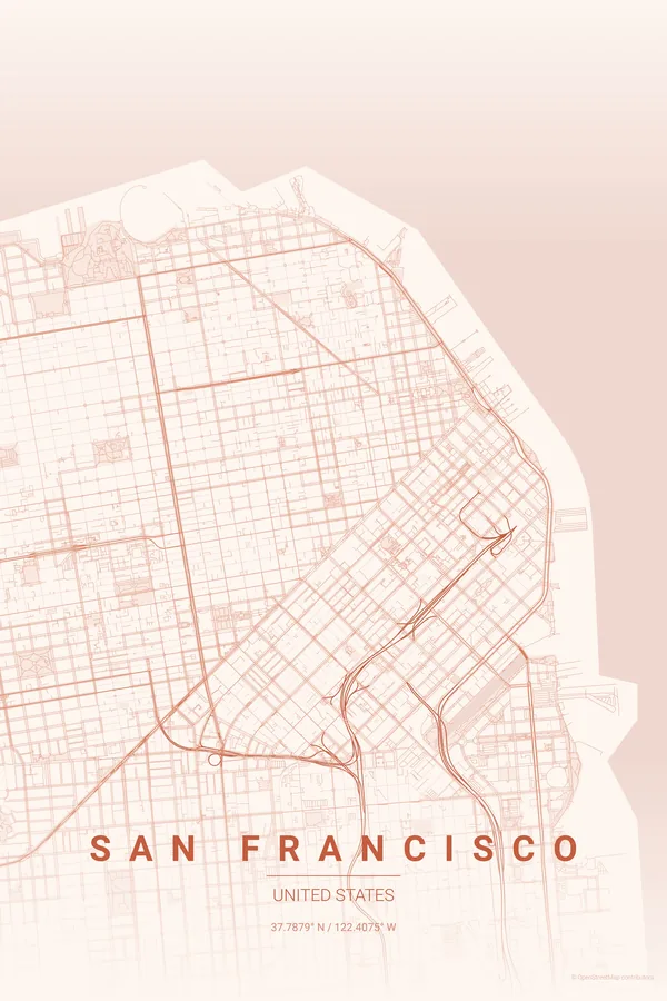
Best palettes for San Francisco
- Terracotta — warm, earthy tones for the painted Victorians and sun-baked hills.
- Blueprint — a technical aesthetic for a city of engineering marvels: cable cars, bridges, tunnels.
- Midnight Blue — deep and atmospheric, the fog rolling over the peninsula at twilight.
Where to centre the map and which radius to use
Use portrait orientation centred on Union Square with a 6 km radius: the north-south peninsula fills a vertical frame perfectly, Golden Gate at the top, the Mission at the bottom. Portrait orientation suits this city best.
Ready-made San Francisco posters
We have already rendered 5 San Francisco designs at 300 DPI (Sunset, Blueprint, Midnight Blue, Noir, Warm Beige). Download the files for 9.99 € and print them anywhere, or order a premium matte print (A4 to 60×90 cm) with shipping included.
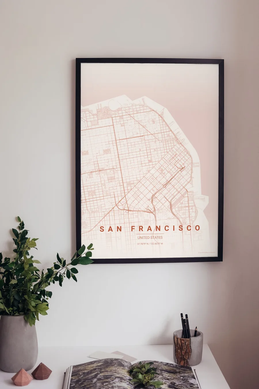
See all San Francisco designs Order it printed
- San Francisco map poster in the Sunset palette
- San Francisco map poster in the Noir palette
- San Francisco map poster in the Warm Beige palette
Design your own San Francisco poster
Pick any of the 17 palettes, set the exact centre and radius described above, choose the size and the label text (San Francisco, or a neighbourhood name), and we render it for you from live map data after checkout. From 14 €, usually ready in 5–15 minutes.
Open San Francisco in the editor
Which size to print
City maps with lots of fine streets reward size: 30×40 cm is the sweet spot for a desk or hallway, 50×70 cm and 60×90 cm turn the map into a statement piece where individual streets remain legible from across the room. Stick to matte paper so the dark palettes do not reflect. Read the printing and framing guide.