United States · Midnight Blue
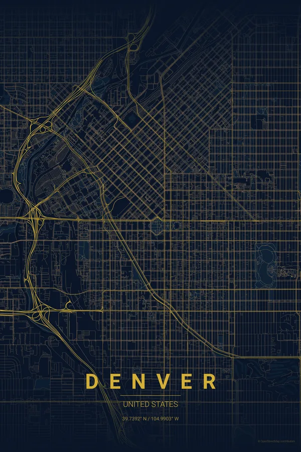
Denver Map Poster · Midnight Blue
Every street, park and waterway of Denver, drawn from real map data in the Midnight Blue palette. Buy the files and print anywhere, or let us print it for you.
- Digital: 4 portrait JPGs (2:3, 3:4, 4:5, ISO) at 300 DPI
- Fits 12×18 in, 30×40 cm, 16×20 in, A4/A3/A2 and more
- Extras ZIP with the 11×14 in version and all ratios in landscape
- Printed sizes A4 to 60×90 cm, $35–$75, shipping included
- Map data © OpenStreetMap contributors
About the Denver map
the Mile High grid at the foot of the Rockies
Denver's map hides a lovely quirk: downtown's blocks are rotated 45 degrees to follow the confluence of the South Platte River and Cherry Creek, while everything around them snaps back to the compass. The seam where the two grids meet, stitched together by Broadway and Colfax Avenue, is the visual heart of any Denver print.
Add Speer Boulevard running diagonally along Cherry Creek, the big green rectangles of City Park and Washington Park, and the rail yards fanning out from Union Station, and you get a poster that balances rigid order with just enough disruption to stay interesting.
Centre on the Colorado State Capitol with a 6 km radius: you capture the rotated downtown grid, the Platte and Cherry Creek confluence, City Park and Washington Park in one clean, balanced frame.
Read the full Denver guideWant it your way?
Change the distance, the colours, the label or the size in the editor and get a custom render of Denver.
Customize this design


