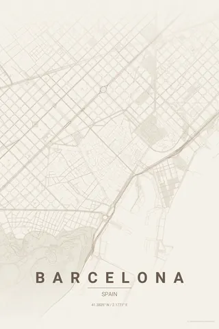
Italy · Warm Beige
Florence Map Poster · Warm Beige
Every street, park and waterway of Florence, drawn from real map data in the Warm Beige palette. Buy the files and print anywhere, or let us print it for you.
- Digital: 4 portrait JPGs (2:3, 3:4, 4:5, ISO) at 300 DPI
- Fits 12×18 in, 30×40 cm, 16×20 in, A4/A3/A2 and more
- Extras ZIP with the 11×14 in version and all ratios in landscape
- Printed sizes A4 to 60×90 cm, $35–$75, shipping included
- Map data © OpenStreetMap contributors
About the Florence map
Renaissance streets along the Arno
Florence is a small city with enormous presence. The Arno cuts through the centre, the Ponte Vecchio connecting the historic core to the Oltrarno, and the streets of the centro storico follow the old Roman layout: narrow, tight, almost claustrophobic from above. Around it the Tuscan hills rise and the streets begin to curve and climb.
What makes Florence special on a map is its compactness. The Duomo, the Uffizi, Santa Croce and Palazzo Pitti are all within walking distance, and the map shows why: one of the densest concentrations of Renaissance architecture in the world, drawn as an intricate, jewel-like pattern.
Warm Beige: a quieter elegance if terracotta feels too bold; the narrow streets become delicate line work.
Centre on the Duomo with a 3 km radius: the whole centro storico, the Arno with its bridges, the Oltrarno and the first hills towards Fiesole and Piazzale Michelangelo.
Read the full Florence guideWant it your way?
Change the distance, the colours, the label or the size in the editor and get a custom render of Florence.
Customize this design