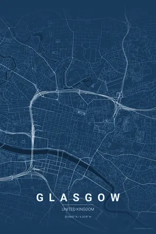
Italy · Blueprint
Turin Map Poster · Blueprint
Every street, park and waterway of Turin, drawn from real map data in the Blueprint palette. Buy the files and print anywhere, or let us print it for you.
- Digital: 4 portrait JPGs (2:3, 3:4, 4:5, ISO) at 300 DPI
- Fits 12×18 in, 30×40 cm, 16×20 in, A4/A3/A2 and more
- Extras ZIP with the 11×14 in version and all ratios in landscape
- Printed sizes A4 to 60×90 cm, $35–$75, shipping included
- Map data © OpenStreetMap contributors
About the Turin map
baroque order with the Alps at its back
Turin is Italy's most rational map. The Roman grid of the Quadrilatero still sits at the core, and the Savoy planners extended it into ruler-straight baroque streets — Via Roma, Via Po, Via Garibaldi — that snap between grand set-piece squares, with Piazza Castello as the hinge of the whole system and eighteen kilometres of arcades hiding underneath the lines.
Then, at the eastern edge, the order stops dead: the Po slides past with the green band of Parco del Valentino on its bank, and beyond the river the hillside streets of the collina start to wander and climb. A rigid grid meeting a romantic hill is as clean a contrast as map art gets.
Blueprint: drafting-table lines for the city that drew Italy's cars.
Centre on Piazza Castello with a 4 km radius: the baroque grid fills the frame, the Po and Parco del Valentino draw the eastern border and the first curves of the collina bring texture to the far edge.
Read the full Turin guideWant it your way?
Change the distance, the colours, the label or the size in the editor and get a custom render of Turin.
Customize this design