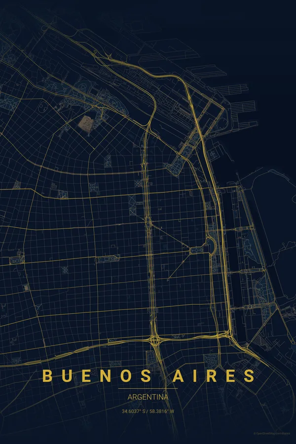
Argentina · Midnight Blue
Buenos Aires Map Poster · Midnight Blue
Every street, park and waterway of Buenos Aires, drawn from real map data in the Midnight Blue palette. Buy the files and print anywhere, or let us print it for you.
- Digital: 4 portrait JPGs (2:3, 3:4, 4:5, ISO) at 300 DPI
- Fits 12×18 in, 30×40 cm, 16×20 in, A4/A3/A2 and more
- Extras ZIP with the 11×14 in version and all ratios in landscape
- Printed sizes A4 to 60×90 cm, £26–£55, shipping included
- Map data © OpenStreetMap contributors
About the Buenos Aires map
the Paris of South America, mapped
Buenos Aires has a grid so vast and regular that it feels almost infinite: blocks of identical size in every direction, punctuated by grand diagonals, most famously Avenida 9 de Julio, one of the widest streets in the world. The Río de la Plata forms the eastern edge, so wide it looks like an ocean on the map.
The uniformity is the beauty: it creates a hypnotic, textile-like pattern that fills the poster edge to edge, then the diagonals of Avenida de Mayo, Santa Fe and Corrientes cut through like streaks of energy. La Boca sits to the south where the Riachuelo curves; the Puerto Madero docks jut into the river.
Centre on the Obelisco with a 6 km radius: the 9 de Julio runs straight through the middle, the diagonals fan out from the Plaza de Mayo and the river fills the right edge.
Read the full Buenos Aires guideWant it your way?
Change the distance, the colours, the label or the size in the editor and get a custom render of Buenos Aires.
Customize this design


