China · Noir
Hong Kong Map Poster · Noir
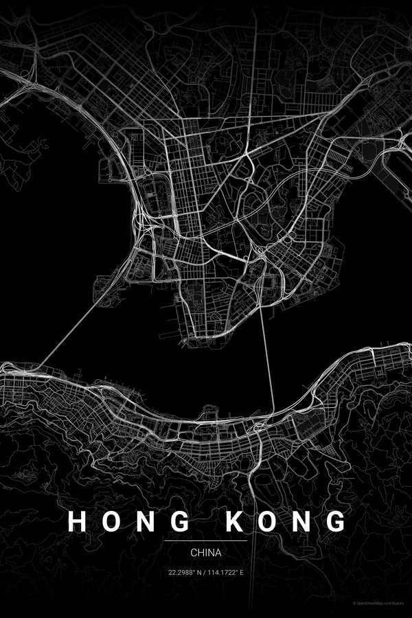
Every street, park and waterway of Hong Kong, drawn from real map data in the Noir palette. Buy the files and print anywhere, or let us print it for you.
- Digital: 4 portrait JPGs (2:3, 3:4, 4:5, ISO) at 300 DPI
- Fits 12×18 in, 30×40 cm, 16×20 in, A4/A3/A2 and more
- Extras ZIP with the 11×14 in version and all ratios in landscape
- Printed sizes A4 to 60×90 cm, £26–£55, shipping included
- Map data © OpenStreetMap contributors
About the Hong Kong map
vertical city, horizontal map
Hong Kong's map is pure drama. Victoria Harbour sits at the centre, a narrow strip of water between Hong Kong Island and Kowloon; the streets of Central and Wan Chai cascade down the island's steep northern slope, Kowloon's grid stretches north to the mountains, and the coastline is reclaimed land, container ports and typhoon shelters.
What makes it extraordinary is density next to emptiness: some of the most tightly packed urban areas on Earth beside mountainous parkland with almost no streets at all. That tension between hyper-dense and empty green gives the poster its charge.
Noir: black on black, the harbour as a stark divide; Mong Kok and Central become almost overwhelming.
Use landscape orientation centred on Victoria Harbour with a 5 km radius: the east-west harbour, Hong Kong Island below and Kowloon above, fills a horizontal frame perfectly.
Read the full Hong Kong guideWant it your way?
Change the distance, the colours, the label or the size in the editor and get a custom render of Hong Kong.
Customize this design