Türkiye · Warm Beige
Istanbul Map Poster · Warm Beige
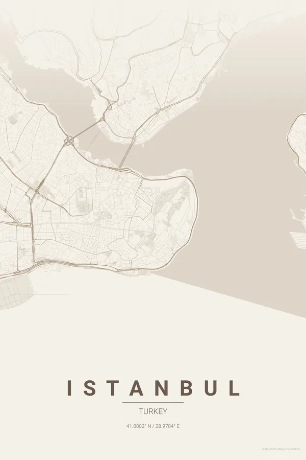
Every street, park and waterway of Istanbul, drawn from real map data in the Warm Beige palette. Buy the files and print anywhere, or let us print it for you.
- Digital: 4 portrait JPGs (2:3, 3:4, 4:5, ISO) at 300 DPI
- Fits 12×18 in, 30×40 cm, 16×20 in, A4/A3/A2 and more
- Extras ZIP with the 11×14 in version and all ratios in landscape
- Printed sizes A4 to 60×90 cm, £26–£55, shipping included
- Map data © OpenStreetMap contributors
About the Istanbul map
where two continents meet on your wall
Istanbul is the only major city that straddles two continents. The Bosphorus cuts the map vertically, Europe on the left and Asia on the right, and the Golden Horn branches off to form a natural Y shape that makes this one of the most dramatic city maps you can hang.
The density is extraordinary: streets cascade down hillsides, the old city of Sultanahmet and the Grand Bazaar sits on a peninsula surrounded by water on three sides, and across the Golden Horn, Beyoğlu and Galata climb steeply. A map poster captures that topographic drama better than any photograph.
Centre on the Galata Bridge with a 6 km radius so the Golden Horn, the historic peninsula, Beyoğlu and the first kilometres of the Asian shore all fit. The water does the composing for you.
Read the full Istanbul guideWant it your way?
Change the distance, the colours, the label or the size in the editor and get a custom render of Istanbul.
Customize this design