South Korea · Blueprint
Seoul Map Poster · Blueprint
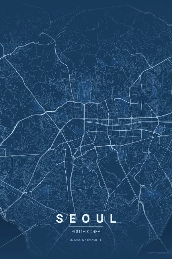
Every street, park and waterway of Seoul, drawn from real map data in the Blueprint palette. Buy the files and print anywhere, or let us print it for you.
- Digital: 4 portrait JPGs (2:3, 3:4, 4:5, ISO) at 300 DPI
- Fits 12×18 in, 30×40 cm, 16×20 in, A4/A3/A2 and more
- Extras ZIP with the 11×14 in version and all ratios in landscape
- Printed sizes A4 to 60×90 cm, £26–£55, shipping included
About the Seoul map
mountains, river and mega-city energy
Seoul's map tells the story of a city built between mountains and a river. The Han cuts horizontally through the centre, wide and bridged dozens of times, with the islands of Yeouido and Nodeul midstream. To the north, Bukhansan makes a mountainous edge where the city simply stops; to the south, Gangnam's grid stretches endlessly.
The contrast between the two halves is fascinating: north of the Han, older, organic streets cluster around Gyeongbokgung and the hanok lanes of Bukchon and Insadong; south of the river, the wide boulevards and apartment complexes built from the 1970s on create a completely different texture.
Use a 7 km radius centred on Yongsan to capture both banks of the Han, the mountains to the north and the full breadth of the bridges; the horizontal river gives the poster a balanced, cinematic split.
Read the full Seoul guideWant it your way?
Change the distance, the colours, the label or the size in the editor and get a custom render of Seoul.
Customize this design