Sweden · Warm Beige
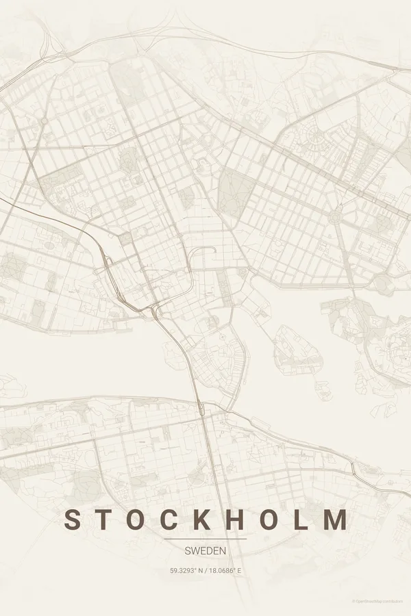
Stockholm Map Poster · Warm Beige
Every street, park and waterway of Stockholm, drawn from real map data in the Warm Beige palette. Buy the files and print anywhere, or let us print it for you.
- Digital: 4 portrait JPGs (2:3, 3:4, 4:5, ISO) at 300 DPI
- Fits 12×18 in, 30×40 cm, 16×20 in, A4/A3/A2 and more
- Extras ZIP with the 11×14 in version and all ratios in landscape
- Printed sizes A4 to 60×90 cm, £26–£55, shipping included
- Map data © OpenStreetMap contributors
About the Stockholm map
islands, bridges and Baltic beauty
Stockholm is built on 14 islands connected by 57 bridges, and its map is a masterclass in water and land intertwined. The old town, Gamla Stan, sits on a small island at the centre surrounded by channels; Lake Mälaren opens to the west, the Baltic stretches east, and the neighbourhoods are scattered across islands and peninsulas like puzzle pieces.
The result is a map where water takes nearly as much space as land. That negative space is what makes a Stockholm poster distinctive: not just a street grid, an archipelago. Djurgården floats to the east, Södermalm sits to the south like a ship, Kungsholmen anchors the west.
Stockholm's east-west spread of islands suits landscape orientation unusually well. Try a 5 km radius centred on Gamla Stan, horizontal, and the archipelago fills the frame.
Read the full Stockholm guideWant it your way?
Change the distance, the colours, the label or the size in the editor and get a custom render of Stockholm.
Customize this design