Manchester Map Poster: canals, viaducts and the first industrial city
Why Manchester works so well as a map poster
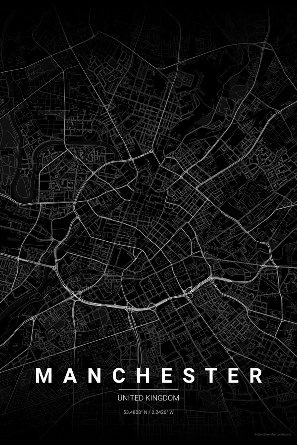
Manchester's map carries its industrial history in every line. The River Irwell traces the border with Salford, while the Rochdale and Bridgewater canals thread through the centre past Castlefield's basin, and railway viaducts curve across the whole composition like heavy pencil strokes.
Around that infrastructure the districts each bring their own texture: the tight Victorian blocks of the Northern Quarter, the open civic set pieces around Albert Square and the Town Hall, Deansgate running long and straight, and the redeveloped wharves of Salford Quays glinting to the south-west.
Best palettes for Manchester
- Noir — the signature pick: moody black on black for the city of red brick, rain and Joy Division.
- Blueprint — the obvious tribute to the world's first industrial city and its engineers.
- Japanese Ink — minimal brushwork that turns canals and viaducts into calligraphy.
Where to centre the map and which radius to use
Centre on Albert Square with a 4 km radius: the Irwell, the canals of Castlefield, the Northern Quarter and both stadiums sit within reach, with Salford Quays just catching the corner of the frame.
Ready-made Manchester posters
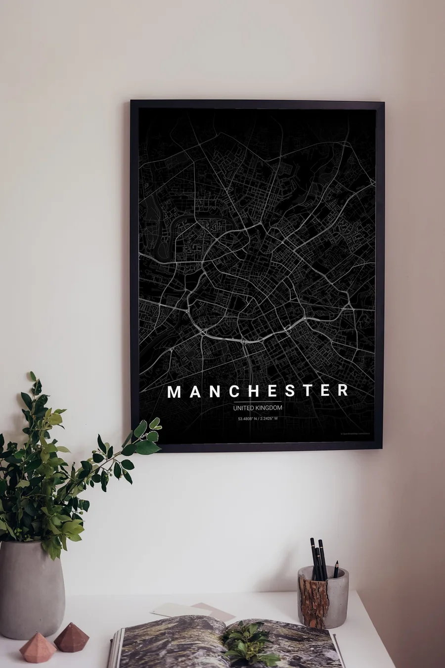
We have already rendered 5 Manchester designs at 300 DPI (Noir, Blueprint, Japanese Ink, Midnight Blue, Warm Beige). Download the files for 9.99 € and print them anywhere, or order a premium matte print (A4 to 60×90 cm) with shipping included.
See all Manchester designs Order it printed
Design your own Manchester poster
Pick any of the 17 palettes, set the exact centre and radius described above, choose the size and the label text (Manchester, or a neighbourhood name), and we render it for you from live map data after checkout. From 14 €, usually ready in 5–15 minutes.
Which size to print
City maps with lots of fine streets reward size: 30×40 cm is the sweet spot for a desk or hallway, 50×70 cm and 60×90 cm turn the map into a statement piece where individual streets remain legible from across the room. Stick to matte paper so the dark palettes do not reflect. Read the printing and framing guide.