United Kingdom · Noir
Manchester Map Poster · Noir
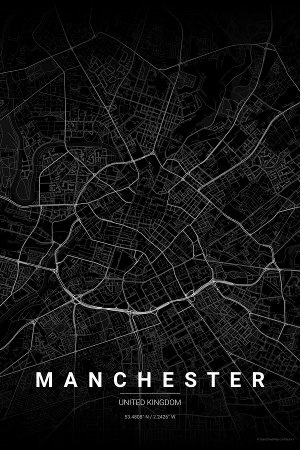
Every street, park and waterway of Manchester, drawn from real map data in the Noir palette. Buy the files and print anywhere, or let us print it for you.
- Digital: 4 portrait JPGs (2:3, 3:4, 4:5, ISO) at 300 DPI
- Fits 12×18 in, 30×40 cm, 16×20 in, A4/A3/A2 and more
- Extras ZIP with the 11×14 in version and all ratios in landscape
- Printed sizes A4 to 60×90 cm, $35–$75, shipping included
- Map data © OpenStreetMap contributors
About the Manchester map
canals, viaducts and the first industrial city
Manchester's map carries its industrial history in every line. The River Irwell traces the border with Salford, while the Rochdale and Bridgewater canals thread through the centre past Castlefield's basin, and railway viaducts curve across the whole composition like heavy pencil strokes.
Around that infrastructure the districts each bring their own texture: the tight Victorian blocks of the Northern Quarter, the open civic set pieces around Albert Square and the Town Hall, Deansgate running long and straight, and the redeveloped wharves of Salford Quays glinting to the south-west.
Noir: the signature pick: moody black on black for the city of red brick, rain and Joy Division.
Centre on Albert Square with a 4 km radius: the Irwell, the canals of Castlefield, the Northern Quarter and both stadiums sit within reach, with Salford Quays just catching the corner of the frame.
Read the full Manchester guideWant it your way?
Change the distance, the colours, the label or the size in the editor and get a custom render of Manchester.
Customize this design