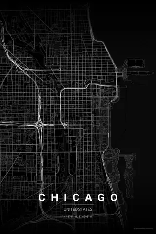
United States · Noir
Austin Map Poster · Noir
Every street, park and waterway of Austin, drawn from real map data in the Noir palette. Buy the files and print anywhere, or let us print it for you.
- Digital: 4 portrait JPGs (2:3, 3:4, 4:5, ISO) at 300 DPI
- Fits 12×18 in, 30×40 cm, 16×20 in, A4/A3/A2 and more
- Extras ZIP with the 11×14 in version and all ratios in landscape
- Printed sizes A4 to 60×90 cm, €29.90–€65, shipping included
- Map data © OpenStreetMap contributors
About the Austin map
a river, a grid and the Hill Country beyond
Austin's map pivots on Lady Bird Lake, the dammed stretch of the Colorado River that curves through the middle of the city. North of the water sits the original 1839 grid, its east-west streets named after Texas rivers and Congress Avenue running straight up to the pink granite Capitol.
Away from downtown the geometry loosens beautifully: Zilker Park and Barton Creek cut green wedges into the west side, the streets start to ripple as the Hill Country begins, and I-35 draws a hard, honest line along the eastern edge of the old grid.
Noir: minimal black on black for a poster that keeps things weird, quietly.
Centre on the Texas State Capitol with a 6 km radius: the downtown grid, the full curve of Lady Bird Lake, Zilker Park and the ragged Hill Country streets to the west all make the frame.
Read the full Austin guideWant it your way?
Change the distance, the colours, the label or the size in the editor and get a custom render of Austin.
Customize this design