Portugal · Blueprint
Lisbon Map Poster · Blueprint
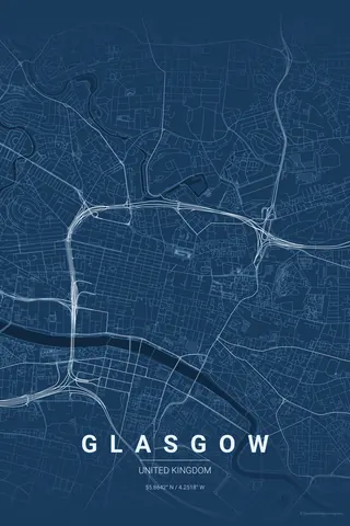
Every street, park and waterway of Lisbon, drawn from real map data in the Blueprint palette. Buy the files and print anywhere, or let us print it for you.
- Digital: 4 portrait JPGs (2:3, 3:4, 4:5, ISO) at 300 DPI
- Fits 12×18 in, 30×40 cm, 16×20 in, A4/A3/A2 and more
- Extras ZIP with the 11×14 in version and all ratios in landscape
- Printed sizes A4 to 60×90 cm, €29.90–€65, shipping included
- Map data © OpenStreetMap contributors
About the Lisbon map
seven hills, one river, endless character
Lisbon's map is shaped by geography more than almost any European capital. The Tagus dominates the southern edge, wide and opening towards the Atlantic, and the famous seven hills create a street network that zigzags and switchbacks in ways that look almost chaotic from above. That is the beauty of it.
Zoom into Alfama and you see medieval lanes so narrow they barely register; pan out and the rigid grid of the Baixa Pombalina, rebuilt after the 1755 earthquake, sits in striking contrast. Belém stretches west along the waterfront. It is a city of layers, and a map poster keeps every one.
Centre on Praça do Comércio with a 5 km radius: everything from Belém's waterfront to the labyrinth of Alfama, with the 25 de Abril bridge stretching across the Tagus.
Read the full Lisbon guideWant it your way?
Change the distance, the colours, the label or the size in the editor and get a custom render of Lisbon.
Customize this design