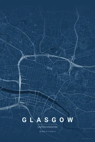
Japan · Blueprint
Tokyo Map Poster · Blueprint
Every street, park and waterway of Tokyo, drawn from real map data in the Blueprint palette. Buy the files and print anywhere, or let us print it for you.
- Digital: 4 portrait JPGs (2:3, 3:4, 4:5, ISO) at 300 DPI
- Fits 12×18 in, 30×40 cm, 16×20 in, A4/A3/A2 and more
- Extras ZIP with the 11×14 in version and all ratios in landscape
- Printed sizes A4 to 60×90 cm, €29.90–€65, shipping included
- Map data © OpenStreetMap contributors
About the Tokyo map
the beautiful chaos of Japan's capital
Tokyo's map is unlike any other city. There is no grid and no grand boulevards, just an incredibly dense web of small streets radiating from the stations, punctuated by the Imperial Palace gardens, the Sumida River and pockets of green like Yoyogi and Ueno.
That is what makes a Tokyo map poster so fascinating: from above it looks almost like a living organism, with the Yamanote loop holding the centre together and the rivers and canals of the east side adding rhythm.
Blueprint: technical and precise; honours the engineering of the world's largest metro system.
Centre on the Imperial Palace with an 8 km radius so the empty green of the palace becomes the eye of the storm, surrounded by Shinjuku, Shibuya, Ginza and the Sumida. Tokyo is so dense that a 10 km radius still reads as one continuous texture.
Read the full Tokyo guideWant it your way?
Change the distance, the colours, the label or the size in the editor and get a custom render of Tokyo.
Customize this design