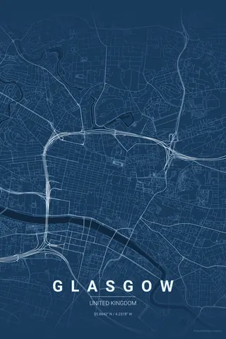
Canada · Blueprint
Toronto Map Poster · Blueprint
Every street, park and waterway of Toronto, drawn from real map data in the Blueprint palette. Buy the files and print anywhere, or let us print it for you.
- Digital: 4 portrait JPGs (2:3, 3:4, 4:5, ISO) at 300 DPI
- Fits 12×18 in, 30×40 cm, 16×20 in, A4/A3/A2 and more
- Extras ZIP with the 11×14 in version and all ratios in landscape
- Printed sizes A4 to 60×90 cm, €29.90–€65, shipping included
- Map data © OpenStreetMap contributors
About the Toronto map
a grid meeting a Great Lake
Toronto's map is a clean story: a vast, patient grid running north from the shore of Lake Ontario, interrupted only by the ravines — wooded river valleys that snake through the city like green lightning bolts.
The lakefront gives the poster its anchor: the harbour, the Toronto Islands' lagoons floating just offshore, and the grid dissolving into the water. Half the frame is calm blue, half is orderly city.
Blueprint: clean technical lines suit the grid's discipline.
Centre on Union Station with a 6 km radius: the Islands float in the lower third, the grid fills the top and the Don Valley cuts its green diagonal on the right. A landscape frame also works beautifully here.
Read the full Toronto guideWant it your way?
Change the distance, the colours, the label or the size in the editor and get a custom render of Toronto.
Customize this design