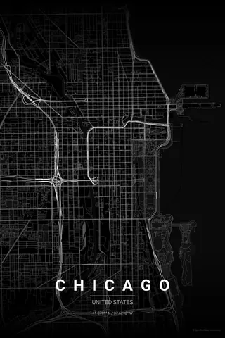
United States · Noir
Washington Map Poster · Noir
Every street, park and waterway of Washington, drawn from real map data in the Noir palette. Buy the files and print anywhere, or let us print it for you.
- Digital: 4 portrait JPGs (2:3, 3:4, 4:5, ISO) at 300 DPI
- Fits 12×18 in, 30×40 cm, 16×20 in, A4/A3/A2 and more
- Extras ZIP with the 11×14 in version and all ratios in landscape
- Printed sizes A4 to 60×90 cm, €29.90–€65, shipping included
- Map data © OpenStreetMap contributors
About the Washington map
L'Enfant's diagonals over a perfect grid
Washington is one of the few cities on earth designed as a diagram of power, and it shows from above. L'Enfant's 1791 plan lays grand diagonal avenues — Pennsylvania, Massachusetts, Connecticut — over a strict lettered-and-numbered grid, and where they collide the map blooms into circles and squares: Dupont, Logan, Scott.
The green band of the National Mall runs from the Capitol to the Lincoln Memorial with the Washington Monument at its midpoint, the Potomac and the Tidal Basin round off the south-west corner, and Rock Creek Park cuts a wild green gorge straight through the north-west quadrant. Geometry, water and monument in a single frame.
Noir: sober black on black, with real gravitas for a capital.
Centre on the National Mall with a 6 km radius: the Capitol, the White House and the Lincoln Memorial anchor the frame, the diagonals fan out to the circles, and the Potomac and Rock Creek Park close the composition.
Read the full Washington guideWant it your way?
Change the distance, the colours, the label or the size in the editor and get a custom render of Washington.
Customize this design