Mexico City Map Poster: a megacity on a drained lake
Why Mexico City works so well as a map poster
Mexico City's map holds five centuries of layers: the Spanish grid around the Zócalo — itself built over Tenochtitlan — the elegant diagonal of Paseo de la Reforma, and the vast green raft of Chapultepec Park keeping the density at bay.
Around those anchors, colonias like Roma and Condesa add their garden-city curves, and the pattern stretches to the horizon in every direction — one of the largest continuous urban fabrics on earth.
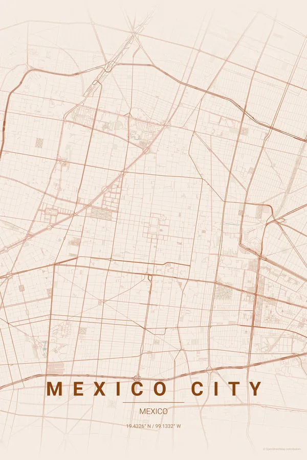
Best palettes for Mexico City
- Terracotta — the signature pick: volcanic stone and colonial ochres.
- Midnight Blue — the endless valley of lights seen from the air at night.
- Noir — reduces the megacity to a mesmerising single texture.
Where to centre the map and which radius to use
Centre on the Zócalo with a 7 km radius: Reforma's diagonal connects the historic centre to Chapultepec, with Roma and Condesa's curves in between. CDMX's density makes even the noir palette feel rich.
Ready-made Mexico City posters
We have already rendered 5 Mexico City designs at 300 DPI (Terracotta, Blueprint, Midnight Blue, Noir, Warm Beige). Download the files for 9.99 € and print them anywhere, or order a premium matte print (A4 to 60×90 cm) with shipping included.
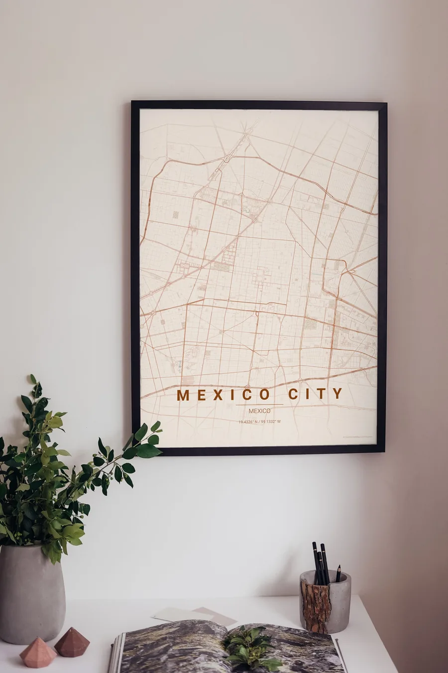
See all Mexico City designs Order it printed
Design your own Mexico City poster
Pick any of the 17 palettes, set the exact centre and radius described above, choose the size and the label text (Mexico City, or a neighbourhood name), and we render it for you from live map data after checkout. From 14 €, usually ready in 5–15 minutes.
Open Mexico City in the editor
Which size to print
City maps with lots of fine streets reward size: 30×40 cm is the sweet spot for a desk or hallway, 50×70 cm and 60×90 cm turn the map into a statement piece where individual streets remain legible from across the room. Stick to matte paper so the dark palettes do not reflect. Read the printing and framing guide.