Mexico · Blueprint
Mexico City Map Poster · Blueprint
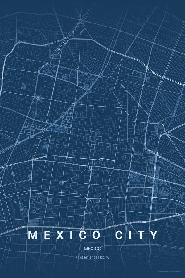
Every street, park and waterway of Mexico City, drawn from real map data in the Blueprint palette. Buy the files and print anywhere, or let us print it for you.
- Digital: 4 portrait JPGs (2:3, 3:4, 4:5, ISO) at 300 DPI
- Fits 12×18 in, 30×40 cm, 16×20 in, A4/A3/A2 and more
- Extras ZIP with the 11×14 in version and all ratios in landscape
- Printed sizes A4 to 60×90 cm, £26–£55, shipping included
About the Mexico City map
a megacity on a drained lake
Mexico City's map holds five centuries of layers: the Spanish grid around the Zócalo — itself built over Tenochtitlan — the elegant diagonal of Paseo de la Reforma, and the vast green raft of Chapultepec Park keeping the density at bay.
Around those anchors, colonias like Roma and Condesa add their garden-city curves, and the pattern stretches to the horizon in every direction — one of the largest continuous urban fabrics on earth.
Centre on the Zócalo with a 7 km radius: Reforma's diagonal connects the historic centre to Chapultepec, with Roma and Condesa's curves in between. CDMX's density makes even the noir palette feel rich.
Read the full Mexico City guideWant it your way?
Change the distance, the colours, the label or the size in the editor and get a custom render of Mexico City.
Customize this design