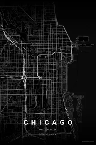
United States · Noir
Miami Map Poster · Noir
Every street, park and waterway of Miami, drawn from real map data in the Noir palette. Buy the files and print anywhere, or let us print it for you.
- Digital: 4 portrait JPGs (2:3, 3:4, 4:5, ISO) at 300 DPI
- Fits 12×18 in, 30×40 cm, 16×20 in, A4/A3/A2 and more
- Extras ZIP with the 11×14 in version and all ratios in landscape
- Printed sizes A4 to 60×90 cm, €29.90–€65, shipping included
- Map data © OpenStreetMap contributors
About the Miami map
the bay, the beach and the causeways between
Miami's map is really three maps in one: the mainland grid of numbered streets and avenues, the wide blue void of Biscayne Bay, and the slender barrier island of Miami Beach out on the Atlantic edge. The MacArthur and Venetian causeways stitch the three together, hopping across a chain of man-made islands.
Look closer and the details keep giving: the Miami River wriggling out of downtown, the crescent of South Beach, Star and Palm islands sitting like stepping stones in the bay, and the marinas fringing Brickell. Water is the main character here, and the poster knows it.
Noir: high-contrast black that makes the bay read as pure negative space.
Centre on Bayfront Park with a 6 km radius so downtown, Brickell, the causeways, the bay islands and all of South Beach share the frame. Landscape orientation lets the mainland-bay-beach sequence breathe.
Read the full Miami guideWant it your way?
Change the distance, the colours, the label or the size in the editor and get a custom render of Miami.
Customize this design