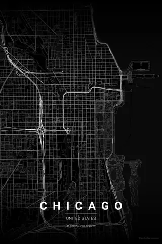
Spain · Noir
Granada Map Poster · Noir
Every street, park and waterway of Granada, drawn from real map data in the Noir palette. Buy the files and print anywhere, or let us print it for you.
- Digital: 4 portrait JPGs (2:3, 3:4, 4:5, ISO) at 300 DPI
- Fits 12×18 in, 30×40 cm, 16×20 in, A4/A3/A2 and more
- Extras ZIP with the 11×14 in version and all ratios in landscape
- Printed sizes A4 to 60×90 cm, €29.90–€65, shipping included
- Map data © OpenStreetMap contributors
About the Granada map
the Alhambra, the Albaicín and the Darro
Granada's map is a study in contrasts drawn by two hills and a river. The Alhambra sits on its wooded ridge above the narrow valley of the Darro, and facing it across the water climbs the Albaicín, a Moorish tangle of lanes so dense it reads like lace from above.
Below them, the lower town spreads out around the Cathedral in a looser, more ordered weave, out to the tree-lined banks of the Genil. Poplar groves, carmen gardens and the first folds of the Sierra Nevada frame the edges. Few small cities pack this much drama into four kilometres.
Centre on the Cathedral with a 4 km radius: the Alhambra hill, the whole Albaicín, the Darro valley and the banks of the Genil all fit, with the old city filling the frame edge to edge.
Read the full Granada guideWant it your way?
Change the distance, the colours, the label or the size in the editor and get a custom render of Granada.
Customize this design